
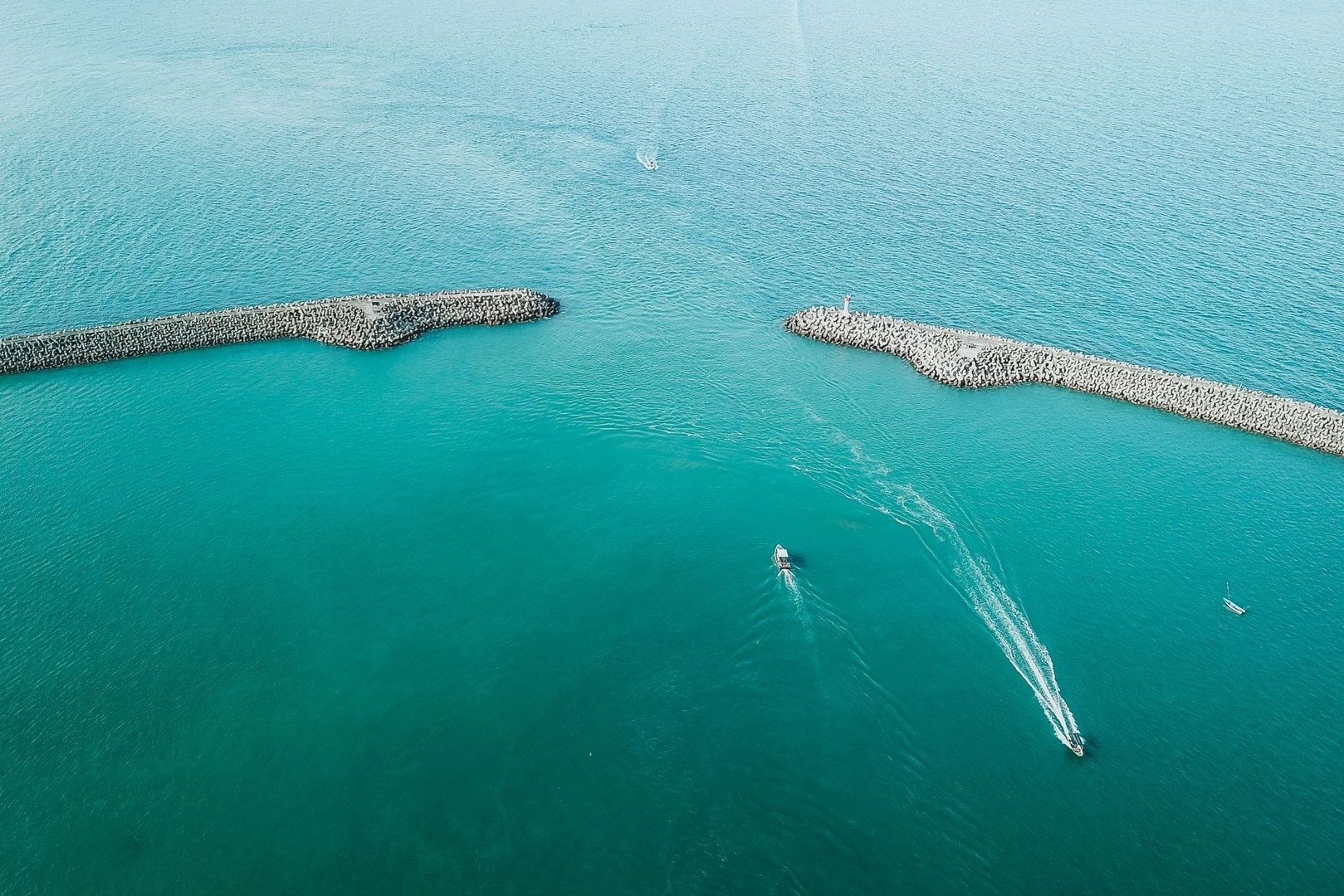
Mastering the Window When the Ocean Pauses
Few coastal passages concentrate so much energy into so little water as a tidal narrows. A channel that looks manageable from shore can become a field of standing waves, boiling seams, whirlpools, and unpredictable lateral pushes when the tide accelerates through a constriction. For a sea kayak, small powerboat, or lightly crewed sailboat, the difference between a controlled crossing and a serious emergency may be measured in minutes.
That is why timing is the first piece of seamanship in a coastal gap. The safest passage is often made during a short period when horizontal current is weakest, not necessarily when the tide is visibly high or low. Before setting out, use reliable predictions, study the channel shape, allow for weather and vessel limitations, and remember that confidence comes from preparation rather than from pressing into a narrowing window.
Tide Height versus Current Velocity
Tide height describes the vertical movement of the sea relative to a reference level. Tidal current describes the horizontal movement of water through a channel. They are related, but they are not the same event. High water and low water are moments of maximum or minimum elevation, while slack current is the transition between one flow direction and the next. In an idealized basin, current might briefly approach zero near a tide turn, but real coastal waterways are shaped by friction, bends, islands, shoals, unequal basins, and pressure differences.
At a narrows, the delay can be substantial. Water may continue surging through a gap after the nearby tide gauge has reached high or low water, or the current may reverse before the predicted height turn at a distant station. A gauge can therefore report a reassuring tide stage while the channel itself is still carrying a powerful flow. This is particularly dangerous where deep water is funneled between reefs or headlands, because the surface may appear calm in one pocket while the main stream remains hazardous.
- High or low tide indicates a turn in water elevation.
- Slack current indicates a temporary minimum in horizontal flow.
- Peak current usually develops during the middle portion of the flow cycle, when the water is moving most rapidly toward the next tide stage.
- Local bathymetry can shift each event away from the timing shown at a general tide station.
The scale of this difference is not academic. Reports from tidal waterways show that slack may last only a few minutes in some locations, rather than the two or three hours that inexperienced boaters sometimes assume. At Skookumchuck Narrows, for example, spring-tide currents can exceed 16 knots, while water-level differences between the two sides of the passage can reach several feet. In such a setting, a small timing error is not a minor inconvenience. It can place a vessel directly into standing waves or rotating water.

Accessing Reliable Current Tables and Reference Stations
Begin with a current prediction for the actual passage, then use nearby tide stations only to understand the broader tidal pattern. Primary stations generally provide the main reference predictions for a region, while secondary stations apply local offsets to the timing and height of the primary station. Current stations are a different category again, because they attempt to describe direction and speed through a particular channel rather than simply water elevation.
Before charting your departure, verify current velocity tables through the official NOAA Current Predictions portal and compare them with official Tide Predictions for the surrounding water levels. The portal allows searches by map, state, station name, station ID, or geographic coordinates. Treat the result as a planning foundation, not a guarantee. Wind, atmospheric pressure, river discharge, recent storms, and unusual water levels can alter the observed current from the prediction.
Compare the predicted time of slack with the time required to launch, clear the approach, turn the boat, and retreat if conditions are unsuitable. A five-minute slack prediction is not a five-minute safe passage if the route to the gap takes ten minutes. Build a conservative buffer, and identify an alternative holding area or safe shoreline before leaving the dock. If your vessel has limited power, limited maneuverability, or no reliable way to reverse course, the decision point should be earlier still.
Applying the Rule of Twelfths to Estimate Dynamic Water Movement
The Rule of Twelfths is a quick approximation for the way tidal height changes during a roughly six-hour rise or fall. It divides the total tidal range into twelve parts and assumes that the water changes slowly at the beginning and end of the cycle, then moves more rapidly near the middle. The usual hourly pattern is one twelfth, two twelfths, three twelfths, three twelfths, two twelfths, and one twelfth.
For example, with a six-metre tidal range, the approximate hourly changes are 0.5, 1, 1.5, 1.5, 1, and 0.5 metres. The rule can help estimate under-keel clearance, the likely progression across a shallow bar, or when a reef may become exposed. It is also useful for building intuition about acceleration toward mid-tide and deceleration near the next high or low water.
| Hour into a six-hour change | Approximate portion of range | Six-metre example |
|---|---|---|
| First hour | 1/12 | 0.5 metres |
| Second hour | 2/12 | 1 metre |
| Third hour | 3/12 | 1.5 metres |
| Fourth hour | 3/12 | 1.5 metres |
| Fifth hour | 2/12 | 1 metre |
| Sixth hour | 1/12 | 0.5 metres |
Classical explanations of the method are summarized in this Rule of Twelfths reference, but the calculation must remain an estimate. It does not predict current velocity directly, and it can be unreliable in places with double high waters, double low waters, unusual basin shapes, or strongly asymmetric tidal curves. Use official current tables for a serious narrows passage. The rule is best used as mental arithmetic that supports, rather than replaces, local data.
The middle portion of the cycle deserves special attention. As the water-level difference between connected basins grows, flow generally strengthens, and the channel”s deepest section may develop standing waves or a visible velocity core. Around reefs, abrupt depth changes can separate fast water from slower water, creating boils and rotating eddies. These features are not a precise clock, but they can confirm that the passage is still in an energetic part of the cycle. If the surface is becoming more organized, steeper, or more confused, do not assume that a published slack time has already arrived.
Reading the Surface and Navigating Channel Morphometry
Charts show depth and hazards, but the surface reveals how the water is using that shape at this moment. The strongest current commonly occupies the deepest central part of a channel, although bends can push the fastest flow toward the outside of a turn. Inside bends, behind points, and along irregular reef contours, slower water or back-eddies may offer a temporary refuge. These areas can still contain sudden shear, floating debris, and awkward counterflows, so they are tactical features, not automatically safe zones.
Look for flattening chop, a broad change in surface texture, diagonal seams, lines of foam, boils, and water that appears to move in different directions on opposite sides of a boundary. Standing waves often remain fixed over a shallow ridge while the water passes beneath them. A smooth-looking patch beside a turbulent tongue may indicate an eddy, but entering it at the wrong angle can swing a kayak or small boat sideways. Wind against tide can amplify the surface even when the predicted current is moderate.
- Observe before committing. Stop outside the main stream, watch several wave cycles, and compare the surface with the charted channel shape.
- Identify the escape route. Know where to turn back, where to drift clear, and which shoreline or eddy can provide temporary shelter.
- Cross seams at a controlled angle. Keep enough momentum for steerage, but avoid excessive speed that reduces reaction time.
- Protect stability and communication. Wear the correct flotation, secure loose equipment, keep spray protection ready, and ensure every crew member understands the plan.
- Abort early. If the current is stronger than expected, the surface is confused, or visibility deteriorates, wait for the next cycle rather than forcing the transit.
Low-horsepower vessels and paddlers should be especially conservative. A motor that can make progress in flat water may not overcome a strong opposing current, and a kayak that handles wind well may be difficult to control in a breaking standing wave. At famous rapids such as Skookumchuck, powerful currents attract specialist whitewater kayakers, but that does not make the passage appropriate for ordinary touring craft. More powerful boats also remain vulnerable to engine failure, steering problems, navigation mistakes, or a sudden loss of visibility.
Chart Your Course With Precision and Confidence
A reliable narrows plan combines three forms of information: published current predictions, a simple understanding of the tidal curve, and direct observation at the entrance. None is sufficient alone. Tables reveal the expected timing, the Rule of Twelfths builds a quick sense of how the tide is progressing, and the surface tells you whether wind, bathymetry, or local conditions are producing something different from the forecast.
- Check a current station and nearby reference stations before departure.
- Calculate the full transit time, including launching, approach, turning, and retreat.
- Allow a generous safety margin around the predicted slack window.
- Inspect the surface from a safe position before entering the main flow.
- Carry appropriate flotation, communications, navigation equipment, and emergency clothing.
- Choose patience over speed when the timing or conditions do not align.
Practice these calculations on moderate passages where an early retreat is easy. Learn how long slack actually lasts, how quickly the surface changes, and how your craft responds when crossing a seam. With that experience, a coastal gap becomes less mysterious and more manageable. The objective is not to challenge the strongest water. It is to arrive during the right window, keep a clear escape option, and let careful preparation turn a powerful passage into a controlled adventure.